Geodesign Alumni
Student Showcase | A Sample of Our Graduates
(Listed alphabetically by surname)
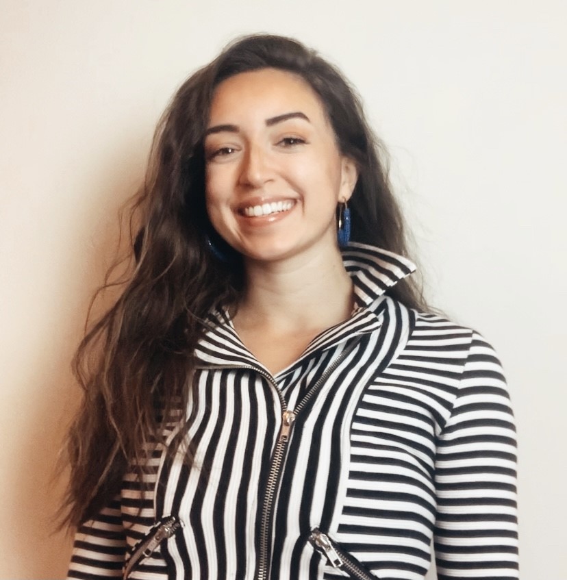
Sabrina Dugan
Research Assistant | Pivot Project
Research Associate | Center for Hydro-Generated Urbanism | University of Florida
2021-Present
Virtual Review Assist: Senior Planner/ GIS Specialist: Working with Dr. Nawari Nawari and Ravi Srinivasan to push Design, Construction, and Planning expediting of land development processes. Using AI technology to automate GIS programmability with computer science analytics and cloud-based technology.
2019-2022
Sabrina Dugan’s Algorithm for Universal Design at UF is a research project aims to create accessible pathways and help advance technologies at The University of Florida to provide a guide for universal design, allowing all individuals to move freely throughout campus.
2021
Senior Planner/ GIS Specialist at Riviera Beach Florida: Focusing on Planning and Zoning; permit reviews, business tax receipt planning review, affordable housing projects, research, reading the past 50 years of Planning and Zoning Ordinances to make an official City of Riviera Beach Annexation Map.
2019-2020
Research Associate for the Center of Hydrogenerated Urbanism: Researching Sustainable Cities with GIS.
Sabrina’s additional sports, clubs, activities, and service work include the following:
- UF Varsity Womens Rowing 2018-2022
- DCP Diversity Ambassador President 2020-2022
- UF Disability Ambassador 2020-2022
- University of Florida Research Scholar 2021-2022
- Florida Blue Key Member Spring Tapping Class of 2021
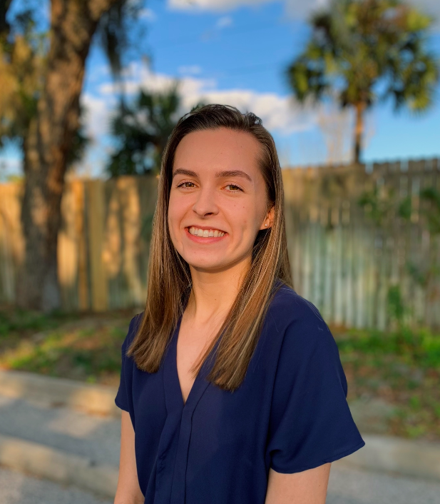
Jessica Hays
Planning Intern | S&ME
Graduate Student | MURP | University of Florida
Jessica graduated from the University of Florida Sustainability and the Built Environment Program with a specialization in Geodesign in Spring 2022. She is furthering her education at UF by pursuing a master’s degree in Urban and Regional Planning, for which she has participated in the combined degree program during her undergraduate years. She is interested in the connection between social and environmental sustainability in the built environment, and how it can be addressed through GIS analyses and stakeholder engagement in planning processes. Her Spring 2022 capstone project explored craft breweries as a tool for revitalization and analyzed their potential relationship to gentrification in Jacksonville, Florida. She has worked at the GeoPlan Center where she has helped maintain the Florida Geographic Data Library and has worked with Alachua County to develop an interactive map of the county’s local foodshed. She now works at S&ME, a multidisciplinary development firm, as a planning intern where she is working on a variety of projects relating to site development, land use studies, and comprehensive planning.
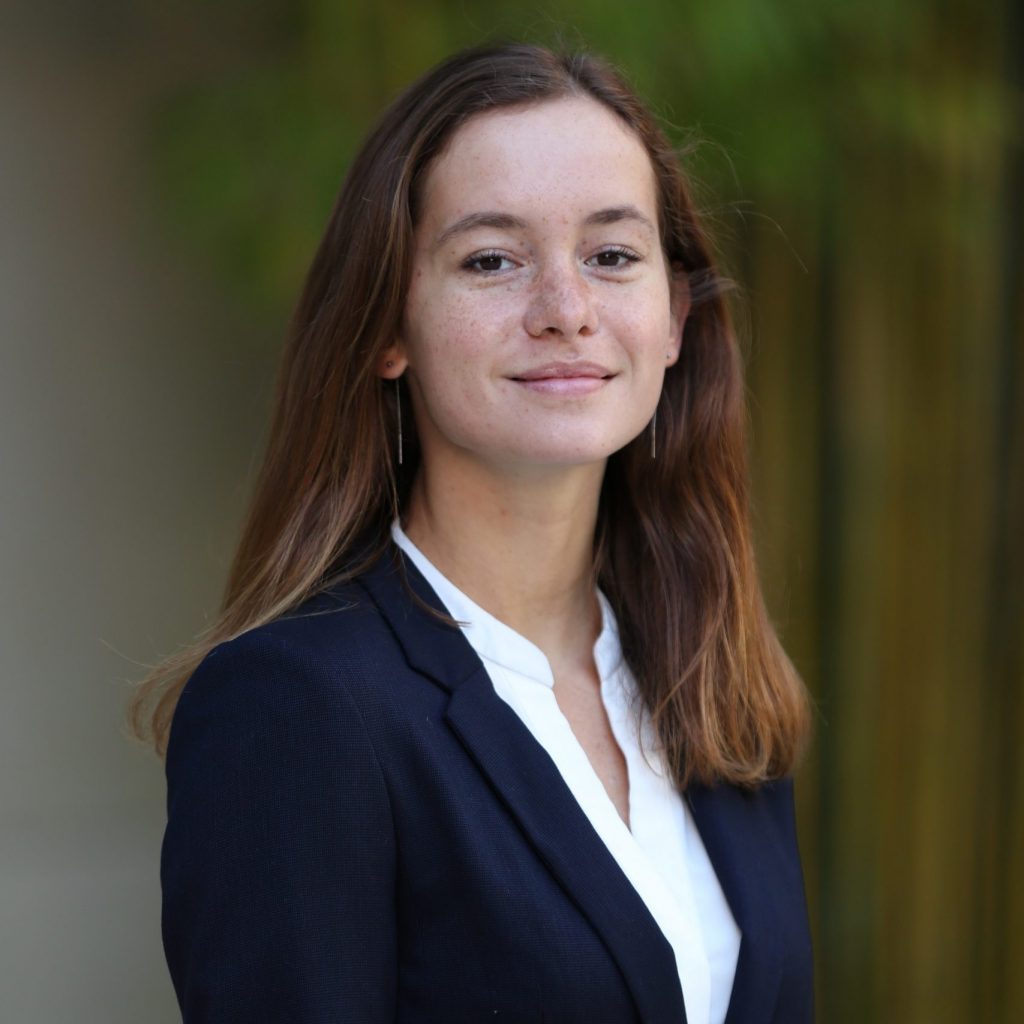
Sophia Palombo
Analyst | Digital Bridge
Graduate Student | MSRE | University of Florida
Sophia was born in Hamburg, Germany and raised in New Delhi, India, before moving to Sarasota, Florida during high school. She studied Sustainability and the Built Environment, with a specialization in Geodesign, and Economics at the University of Florida. Currently, she is pursuing a Masters of Science in Real Estate and has accepted a job with DigitalBridge in Boca Raton upon her graduation in Spring 2022. She is interested in the intersection between urbanism and economics, and hopes to spend her career building resilient, equitable, and sustainable places.
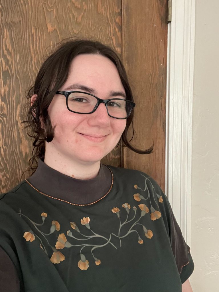
Darwin Thomas
GIS Analyst | GeoPlan Center | University of Florida
Darwin graduated from the University of Florida Sustainability and the Built Environment program in Spring 2021, with a specialization in Geodesign. She got her start in GIS through middle school science fair projects projecting the impact of sea level rise on Florida. She is interested in climate change resiliency research and planning, particularly in regard to sea level rise. Her Spring 2021 capstone project, “Can Sponge City Infrastructure be Applied in Florida as a Climate Adaptation?” explored the potential of designing cities to be more permeable to adapt to sea level rise in Florida. She works at the GeoPlan Center, assisting with resiliency work, updating the Florida Geographic Data Library, and website maintenance.
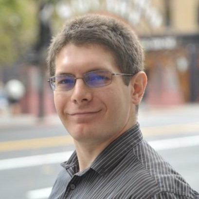
David Wasserman
AICP
GBLC | Geodesign Specialization Advisor
Data Science Practice Leader | Alta Planning & Design
David works at the intersection of urban informatics, 3D visualization, geospatial analytics, and visual storytelling. He brings years of experience and passion to applying scientific computing, spatial analysis, and scenario-focused storytelling toward the development of effective transportation planning solutions tailored to enable accessible and resilient communities. He has experience working on multimodal transportation plans, bicycle master plans, systemic safety studies, python tool & web applications, advanced data visualizations, cost benefit analyses, direct ridership models, and station area plans. His current focus areas are enabling data-informed scenario planning, identifying how to align community goals to metrics to track progress towards them, incorporating civic data science into projects with web-delivery and computer vision derived datasets, and generating accessibility metrics that can identify the possible benefits of projects and who they go to.