Investigating Covid-19 Patterns in Cities
Dr. Emre Tepe is studying the spatial and temporal relationships between Covid-19 cases and urban characteristics.
Urban areas have become hot spots for Covid-19 due to concentrated human interactions. Photo by Kate Trifo on Unsplash.
May 24, 2020
As the World Health Organization (WHO) declared the coronavirus outbreak a pandemic on March 11th, 2020, both the WHO and the US Centers for Disease Control and Prevention (CDC) warned that the novel virus is highly contagious and suggested “social distancing” measures.
Not surprisingly, dense urban areas have become hot spots for Covid-19 due to their concentrated human interactions. To better understand what the pandemic means for cities, the relationships between the spread of the disease and the physical and socio-economic structures of urban areas need to be investigated.
URP Assistant Professor Dr. Emre Tepe is studying the spatial and temporal patterns of the recent outbreak in urban settings by incorporating data for population and building densities, size of open spaces, use of public transportation, density of retail facilities, density of tourism activities, median age, median income, race, and ethnicity.
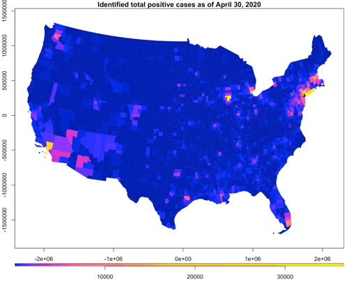
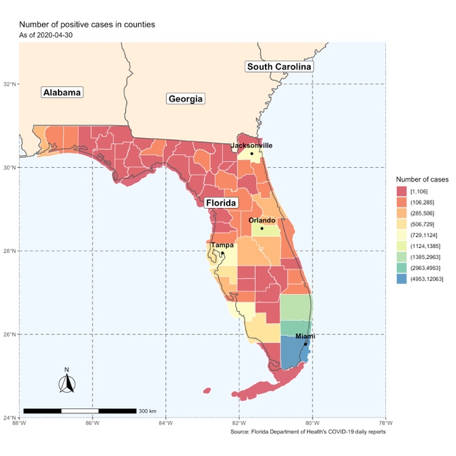
The study is using Covid-19 patient data from the Florida Department of Health’s (FDOH) daily reports. FDOH has been providing information about disease-related cases in Florida since March 16th. The data on physical and socio-economic structures is from the Florida Parcel Database and the U.S. Census.
Dr. Tepe’s study will help elucidate the spread of disease in cities. The findings will provide an opportunity to evaluate current urban planning policies, and to identify planning measures to mitigate the impacts of potential future outbreaks.