Resilient Cedar Key, Phase II
Cedar Key, Florida
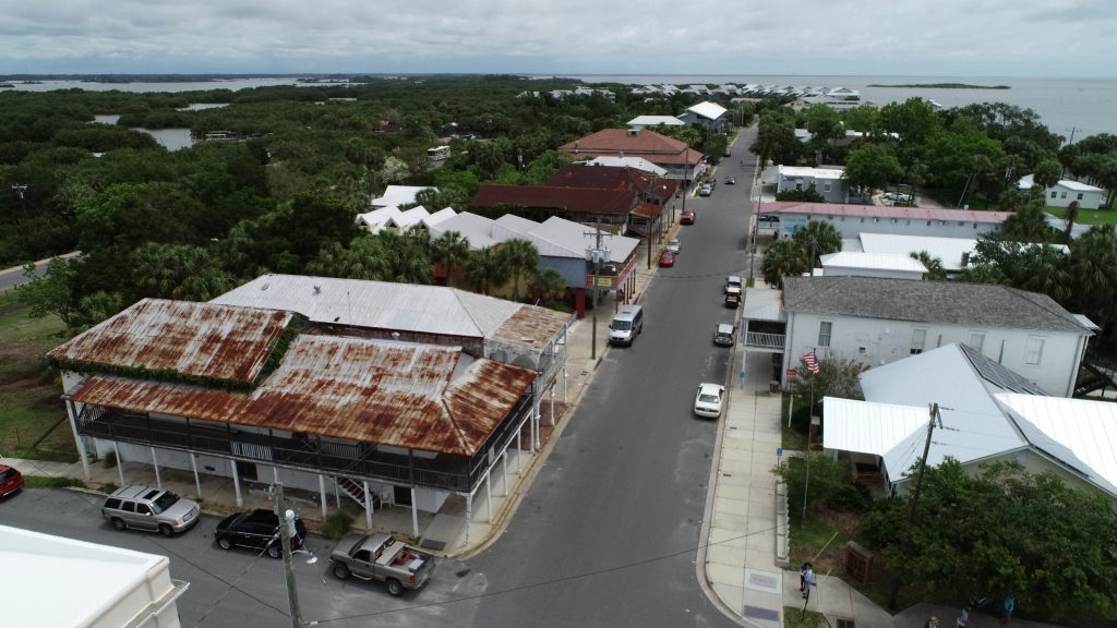
Building upon the success of the Phase One Cedar Key Digital Flood Vulnerability Assessment, Phase Two focused on developing an online database where planners, residents, and people outside the town can access the information generated from the two projects, understand short term flood and longer-term sea level-rise issues, and make informed decisions for mitigation and adaption for the city and individual properties, including historic structures. The study area is bounded by 8th Street (north), Dock Street (south), G and H Street (west), and the eastern end of 2nd Street.
Sponsor Florida Division of Historical Resources [$48,000]
Partners City of Cedar Key
Period July 2020 – June 2021