WEST MONOMOY NEIGHBORHOOD SURVEY, PH. 1
PROJECT INFORMATION Funded by Community Preservation Committee through the Town of Nantucket. Project Period July 1, 2024 – June 30, 2026.
PIN Team Email pin@dcp.ufl.edu Town Contact Holly E. Backus, Preservation Planner hbackus@nantucket-ma.gov
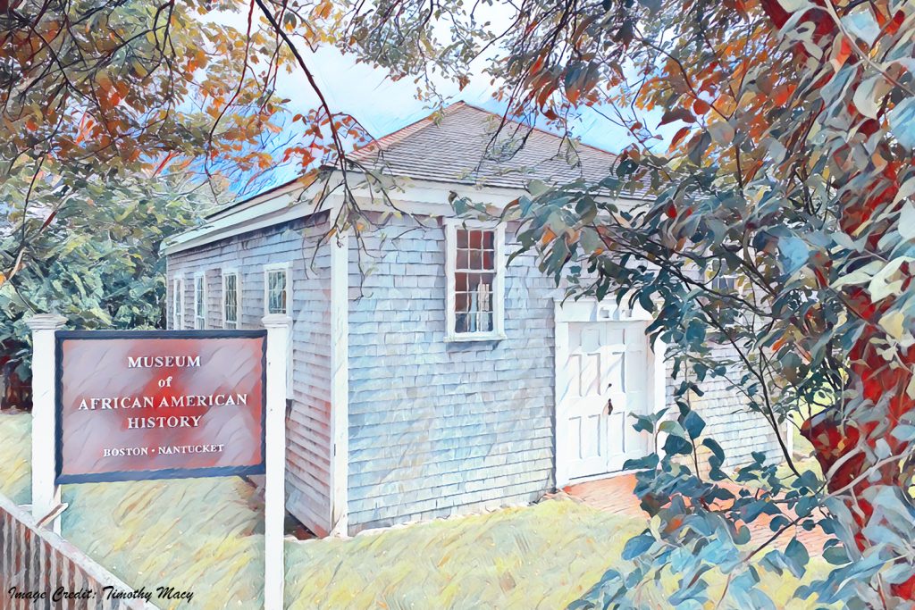
PROJECT SUMMARY The PIN Project Team will provide a Neighborhood Historic Context Statement and Reconnaissance-level documentation of approximately 250 properties constructed before 1976 within the neighborhood unit boundaries. West Monomoy is located just south of downtown Nantucket and, for this survey project, contains parts of mid-eighteenth-century communities historically known as Guinea, New Guinea, and New Town. The area is associated with African, Cape Verdean, Portuguese, and Azorean residents and is densely settled with a mix of residential and commercial buildings constructed between the mid-eighteenth through the mid-twentieth century. The “Historic Properties Survey Plan,” provided for the Town by the Public Archaeology Laboratory, Inc. (PAL) in 2022, identified West Monomoy as a top priority neighborhood for survey due to its increased threats from demolition, redevelopment, and changes in land and property use.[1] This project will ensure that the area is properly documented by identifying contributing resources to the National Historic Landmark (NHL) and add the often-overlooked history of Black and immigrant community members to the overall historic context of Nantucket.
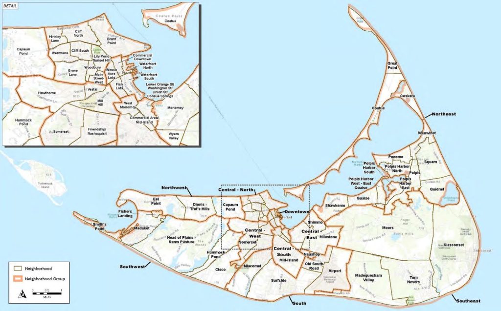
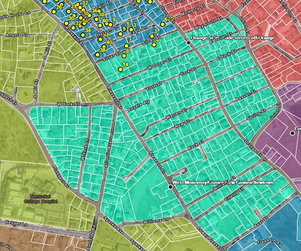
PROJECT SITE LOCATION The West Monomoy neighborhood unit boundaries were defined in the “Historic Properties Survey Plan;” the area is roughly bounded by Silver and Weymouth Streets to the north; Union and Orange Streets to the east; Bear Street to the south; and Pleasant and S. Prospect Streets to the west. The area contains approximately 48 acres and 365 properties.
TASK 1 The Project Team will provide a reconnaissance-level survey to document each building within the neighborhood boundary that was constructed prior to 1976. Each structure will be documented from the sidewalk through photographs and geolocated using GIS for the Town’s database. The team will use historic maps, deed records, and architectural evidence to provide each building with an approximate building date. The Project Team will be surveying the neighborhood Sunday, November 17- Tuesday, November 19, 2024.
TASK 2 The Project Team will hold the first Community Outreach session on Saturday, November 16, 2024, and will focus on community knowledge mapping through informal interviews and discussions of the neighborhood history. Participants can sign up for future interviews and oral histories to be held throughout Spring & Summer 2025. PIN will provide an opportunity for participants to bring historic photographs for digitization, adding to the physical repository of history, and for creation of an online Story Map for West Monomoy. This session will inform the Neighborhood Context Statement and prioritization of important sites within the community, ensuring relevance and providing direction for future in-depth property research.
TASK 3 During PIN2025 fieldcourse, entitled “Looking for New Guinea,” the Project Team will lead students in archival research from historic newspapers, property and deed records, historic maps, aerials, and local repositories and compile information with local knowledge mapping to produce the Neighborhood Historic Context Statement, to illustrate the evolution of the neighborhood and highlight neighborhood-specific themes. A Public Presentation will be held on Friday August 8th, as the Second Community Outreach session to share the intial findings and research prioritizations. The PIN team and the Town will work closely during this process to ensure relevance and usability of the historic context statement for future preservation efforts.
TASK 4 The Project Team will draft the Neighborhood Historic Context Statement to reflect relvant history and neighborhood themes as well as community values. Community input will be gathered for the final report.
TASK 5 Final Report. The PIN team will collaborate with the Town throughout the research and writing of the final report to ensure it meets the Town’s expectations and is relevant to the community. This report will include the Neighborhood Historic Context Statement, the synthesized findings from the two community sessions, and a prioritized list of future in-depth research sites. The team will also provide the Town a geospatial database of surveyed properties and a Story Map.
Following the completion of this Phase I project, the next step for the West Monomoy neighborhood would be to complete an Intensive-level survey (Phase II) to perform detailed research for prioritized contributing resources within the neighborhood boundary. Phase II outcomes would be approximately 200 MACRIS Form Bs; the number of forms will be verified during Task 3.
[1] Virginia H. Adams, Melissa J. Andrade, and Eryn Boyce, “Historic Properties Survey Plan: Nantucket, Massachusetts” (Rhode Island: Public Archaeology Laboratory, Inc., September 2022).