Whittaker Schroder and Timothy Murtha have recently been awarded a grant from the Rust Foundation to conduct archaeological research in the region surrounding the Lacantún River and its confluence with the Usumacinta River in Chiapas, Mexico. This study will trace land use change and resilience among the Maya over a roughly 2,000 year history from approximately 500 BCE to the 16th century CE. Through archaeological survey, excavation, and remote sensing, this project will assess the short and long term risks associated with living in an alluvial floodplain environment with seasonal and yearly variations in rainfall, alongside the political transformations known from interpretations of epigraphic and ethnohistoric sources.
This region likely formed part of the Lakamtuun dynasty during the latter half of the first millennium CE, recorded in the famous Bonampak murals, and applied to modern place names and linguistic groups, including the Lacandón. Maya political systems at this time revolved around royal, dynastic courts that governed city or regional states. The degree of integration and stability of these political systems varied considerably across the Maya lowlands. A hierarchy existed among these systems, with some royal courts engaging in expansionist efforts, while others formed minor kingdoms with smaller regional influence. Non-royal communities and individuals, though not explicitly discussed in epigraphic sources, were primarily responsible for resource management, farming, and craft production, in largely decentralized economies.
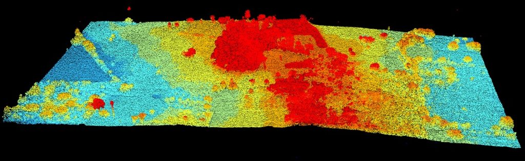
A diverse mosaic of land use processes have been identified in the study area through a suite of remote sensing datasets, including NASA G-LiHT and University of Florida GatorEye airborne and unoccupied aerial vehicle (UAV) LiDAR, respectively. The landscape was modified over several generations to construct a built environment of urban areas, smaller communities and households, and landesque capital, primarily in the form of drained wetland fields. This project will assess the development of this landscape over time, its resilience across several centuries, and to what extent past landscape modifications affect modern communities and their environments today.
LINK to related publications: https://florida.academia.edu/WhittakerSchroder
LINK to data sources: https://gliht.gsfc.nasa.gov/; http://www.speclab.org/gatoreye.html
LINK to Rust Foundation: https://rfamfound1.org/index.html